 Norsk
Norsk
Woodfjorden's geology and landscapeBy Øystein Overrein (ed.), Winfried Dallmann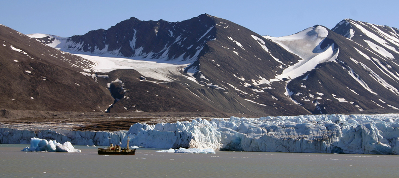

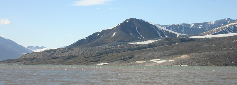
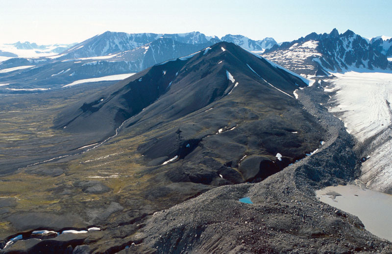
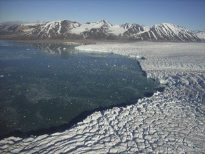
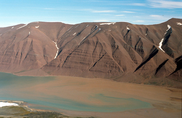
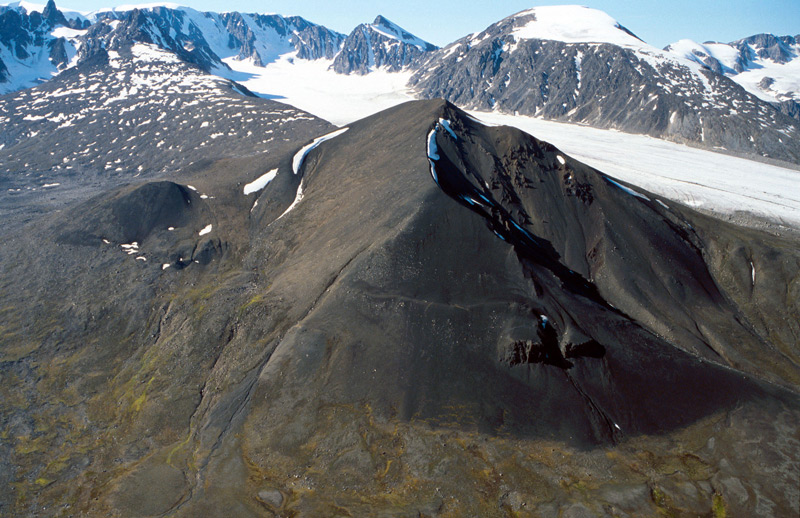
The landscape around the fjord Woodfjorden is characterized by red-coloured sandstones that were deposited in the Devonian period (30-415 million years ago). The red colour is due to a high content of iron oxide (hematite) and indicates deposition in periods of dry, desert-like climate. Svalbard was located near the Equator during these times. Fish fossils have been found in the upper part of the sequence whereas fossils of jawless prehistoric fish are found in the lower part. The mountains east of Woodfjorden reach 1300 m, while the large, flat Reinsdyrflya is less than 100 m high. It is the largest strandflat in Svalbard. Large north–south faults run through the area. The dramatic, alpine mountains to the west of Liefdefjorden and Bockfjorden belong to the crystalline bedrock. Rocks of Precambrian age can be found here. Remains of three volcanoes appear south of Bockfjorden; Sverrefjellet, Sigurdfjellet and Halvdanpiggen. Sverrefjellet is located by the Jotunkjeldene geothermal springs. The characteristic cone shape of Sverrefjellet resembles that of a present-day volcano, although the volcano underwent glacial erosion during the Ice Age. The lava is dark and porous basalt that contains fragments of deep-seated rocks that have been transported by the molten magma from depth during eruptions. The eruptions were most probably violent and explosive. Sverrefjellet and Sigurdfjellet are both located in close proximity to the north–south fault to the west of Bockfjorden. It is believed that the magma took the easiest route along this weakness zone on its way up through the Earth’s crust. See the handbook’s section on Jotunkjeldene to read more about the thermal springs. Halvdanpiggen – 600 m.a.s.l. – can be spotted from a relatively big distance from Woodfjorden. It is located west of inner Woodfjorden, and is a ruin of a volcanic pipe composed of resistant volcanic agglomerate and pieces of lava that have endured the erosive powers of glaciers and weathering. Updated May 2015 |
The Cruise Handbook is also available in book formHard cover with numerous pictures - 249 pages - NOK 249.00 Norwegian Polar Institute |