 Norsk
Norsk
BjørnøyaBy Øystein Overrein (ed.), Jørn Henriksen, Bjørn Fossli Johansen, Kristin PrestvoldThe island of Bjørnøya is situated between the Norwegian mainland and Spitsbergen and is the southernmost part of Svalbard’s archipelago. The island is surrounded by a shallow sea, rich in fish and therefore nourishment for the large populations of seabirds breeding in the cliffs along Bjørnøya’s coastline, particularly in the south. 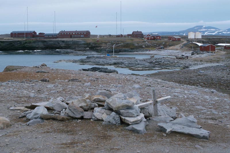 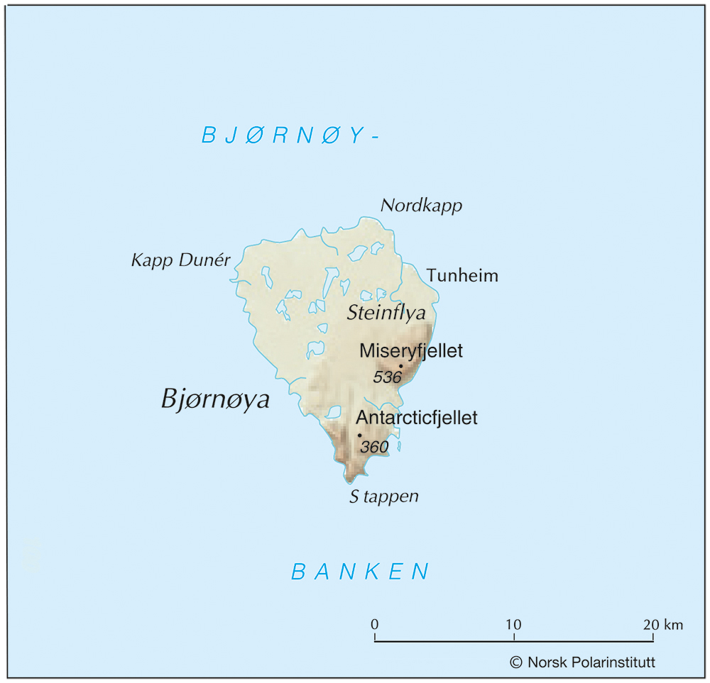
Travel regulationsTo protect the birdlife from disturbances caused by travel, three areas with traffic ban during the summer was established in 2002. One area includes seabird colonies in the south between Cape Harry and Kapp Malmgren, stretching out to 1 nautical mile from land. A small area in the south includes Kapp Heer and Måkeholmen. In these areas, traffic is prohibited during the period 1 April–31. August. At sea within the prohibition zone, travel in boats with length up to 40 feet is permitted. In an emergency this area can also be used as a port. Around Laksvatnet, Kalven og Lomvatnet east of the meteorological station, traffic is prohibited during the period 15 June–31. August in consideration of the Great Northern Diver. Further details can be found on the Governor of Svalbard's website. Updated March 2015 |
The Cruise Handbook is also available in book formHard cover with numerous pictures - 249 pages - NOK 249.00 Norwegian Polar Institute |